Nội dung toàn văn Circular 19/2016/TT-BGTVT channel surveying for management and notification inland waterway channels
|
MINISTRY OF
TRANSPORT |
SOCIALIST
REPUBLIC OF VIETNAM |
|
No. 19/2016/TT-BGTVT |
Hanoi, June 30, 2016 |
CIRCULAR
ON CHANNEL SURVEYING FOR THE MANAGEMENT AND NOTIFICATION OF INLAND WATERWAY CHANNELS
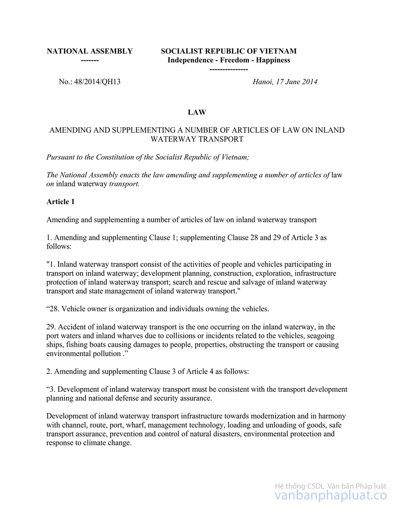
Pursuant to the Law of Inland waterway transport dated June 15, 2004 and the Law on amendments to certain articles of the Law of inland waterway transport dated June 17, 2014;
Pursuant to the Government’s Decree No. 24/2015/ND-CP dated February 27, 2015 on the details and methods of implementing certain articles of the Law of inland waterway transport and the Law on amendments to certain articles of the Law of inland waterway transport;
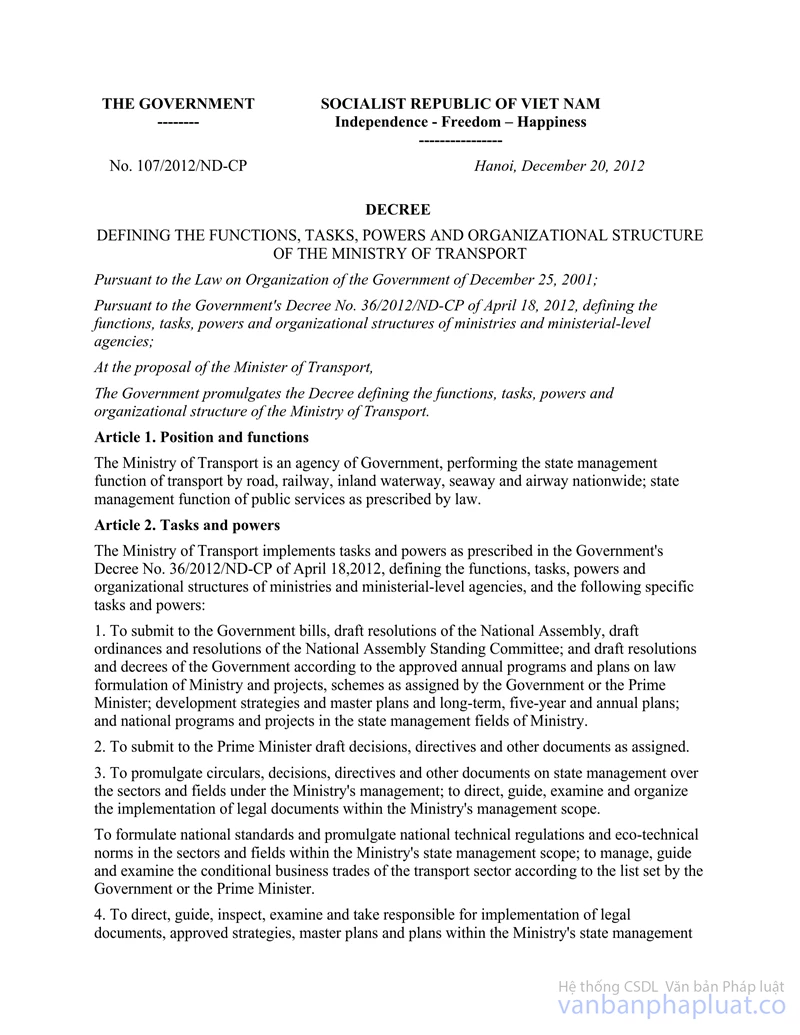
Pursuant to the Government’s Decree No. 107/2012/ND-CP dated December 20, 2012 on the functions, missions, authority and organizational structure of the Ministry of Transport;
At the request of the Head of Department of Transport infrastructure and the Head of Vietnam Inland Waterway Administration,
Minister of Transport promulgates the Circular on channel surveying for the management and notification of inland waterway channels.
Chapter I
GENERAL
Article 1. Scope
This Circular stipulates the surveying of channels for the management and notification of inland waterway channels.
Article 2. Regulated entities
This Circular applies to organizations and individuals concerning channel surveys for the management and notification of inland waterway channels and transport activities on inland waterways.
Article 3. Terminology
1. Inland waterway maintenance organizations are the entities that maintain directly the inland waterways.
2. Inland waterway route refers one or multiple navigation channels that let vessels reach islands and traverse rivers, canals, rivulets, lakes, lagoons, bays, coastal waters or that connect islands. The length of an inland waterway route shall be the distance from its starting point to its ending point.
3. A navigation channel (referred to as channel) is a body of water constricted by the inland waterway signal system for vessels' smooth and safe journeys.
4. Channel width refers to the smallest width of a channel’s bottom as measured on-site at a position of the inland waterway.
5. Channel depth refers to vertical distance from water surface to a channel’s bottom at a position of the inland waterway in 01 (one) specific time.
6. Water level refers to the level of water measured in a specific time at 01 (one) hydrographic station on the inland waterway.
7. The highest and lowest water levels refer to those monitored and recorded in 01 (one) cycle at 01 (one) hydrographic station on the inland waterway.
8. The farthest and shallowest channel depth refers to the depth measured on-site at the deepest and shallowest positions on the inland waterway in route with the highest and lowest water level.
9. The actual clearance height refers to the vertical distance from the lowest point of a structure spanning the inland waterway to the water surface within the navigation span clearance measured in a specific time.
10. Notification of a channel refers to competent governmental authorities’ announcement of technical data of the channel, e.g. water level (H), channel depth (h), channel bottom elevation (Z), channel width (B), actual clearance height and other matters regarding the traffic safety of the channel.
Chapter II
CHANNEL SURVEYING FOR THE MANAGEMENT AND NOTIFICATION OF INLAND WATERWAY CHANNELS
Article 4. Classification of channel surveys for the management of inland waterway channels and routes
1. Initial survey refers to the first basic inspection and exploration of an inland waterway channel or route that has not been announced, managed and exploited in order to establish the topographic map of inland waterway for opening and announcing the inland waterway channel or route as per regulations. If a construction project reaches completion on the inland waterway route, the project’s relevant data shall be used.
2. Periodic survey refers to the update on the inland waterway channel or route, the evaluation of sedimentation and changes in the formation of such channel or route in order to adjust the signs in route with the notification of inland waterway channel and the current circumstances of the inland waterway channel or route. Periodic surveys shall be prioritized for primary routes with heavy traffic flow and inland waterway routes on which marine vessels and foreign watercrafts operate.
3. Ad hoc survey refers to the inquiry of abrupt situations on the inland waterway channel.
4. Regular survey refers to the preliminary examination of shoals on inland waterway routes that have undergone neither initial survey nor periodic survey or on the routes whose data has been recorded but varies frequently in adherence to the standards for management and maintenance of inland waterway in order to maintain the constant notification of inland waterway channels.
Article 5. Content and requirements of channel surveys for the management of inland waterway channels
1. The content and requirements of inland waterway channel surveys shall adhere to the following standards, technical regulations, regulations on topography and construction survey:
a) The scope of a channel survey shall be limited to the navigation channel and inland waterway protection barrier as per current regulations;
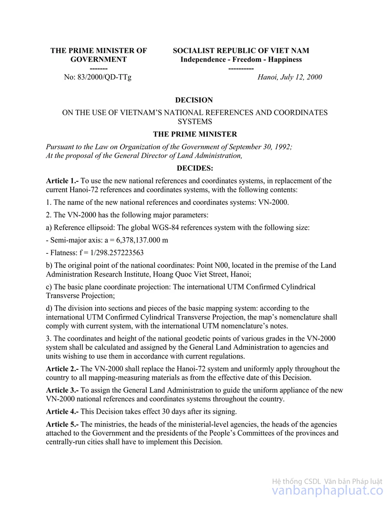
b) The national reference frame and coordinate system VN-2000, pursuant to the Prime Minister's Decision No. 83/2000/QD-TTg dated July 12, 2000 on the use of Vietnam's national reference frame and coordinate system, shall apply to the topography of inland waterways.
c) The national elevation system (Hon Dau) shall apply to the exploration and topography of inland waterways as national trig points shall be correlated to the structure.
2. Content and requirement of topography for initial survey
a) Manifest in full the elevation of the inland waterway channel, the central point of the channel, chainage, the coordinates of the channel’s central point by chainage, and the signaling system on the relevant route.
b) Demonstrate all information on topographic and geophysical features, administrative division, geographical designation, chainage, shoal, obstacles and structures on the river and banks such as bridges, piers, overhead line crossing, regulatory dike, embankment, pump station, supply culvert, breakwater, residential area and structures along the route.
3. Content and requirement of topography for periodic survey: Update on the coordinates, elevation, signal system and shoals on the route and relevant information of the channel according to the initial survey's topography and periodic survey’s result.
4. The establishment of electronic navigational charts shall prioritize primary routes with heavy traffic flow and those on which marine vessels and foreign watercrafts operate. Such charts shall be updated upon periodic surveys.
Article 6. Authorization of surveys for the management of inland waterway channels
1. Minister of Transport, at the intervals of 03 (three) years, shall decide the list of surveys for the management and notification of national inland waterway channels according to the requests of Vietnam Inland Waterway Administration.
2. Chairperson of provincial People’s Committees, at the intervals of 05 (five) years, shall decide the list of surveys for the management and notification of local inland waterway channels according to the requests of the Departments of Transport.
3. Organizations and individuals shall decide the frequency of surveys for the management and notification of the inland waterway channels dedicated to their use; however, it shall be limited to the maximum intervals of 05 (five) years.
Article 7. Documentation on surveying of inland waterway channels
The documents of a survey for the management and notification of inland waterway include:
1. The written description of missions and technical plan for surveying, which has been approved by competent authorities as per the legislation on construction investment.
2. Written materials collected, written records of data measured on-site; final reports on surveying, office computation and adjustment; résumés and preliminary plans of the marks, including coordinates and original height; documents on water level, flow and velocity; measurement logs and drawings; on-site records; overland and underwater illustrative logs; depth measurement tape and original files from the echo sounder, positioning logs or positioning data files, other base data files and materials for the establishment of electronic navigational charts.
3. The full route chart and topographic map at a scale approved according to Section 1 of this Article. The full chart shall display the coordinates pursuant to VN-2000 system for rectangular coordinate and WGS-84 for latitude and longitude.
Article 8. Management and use of survey data
1. The survey data for management and notification of inland waterway shall be verified and delivered to the agencies authorized to announce inland waterway channels or to the investor. Such data consists of the general and elaborate topographic maps and documents defined in Article 7 of this Circular.
2. Topographic maps incorporating similar scale, reference frame, coordinate system and elevation system from annual surveys shall support the study of progression of inland waterways and the management thereof.
Chapter III
NOTIFICATION OF INLAND WATERWAY CHANNELS
Article 9. Principles for notification of inland waterway channels
1. Competent authorities defined in Article 12 of this Circular shall notify relevant agencies, organizations and individuals of inland waterway channels in timely manner.
2. Inland waterway channels shall be published on mass media and the notifying agency's website, announced to inland waterway agencies and carriers and notified by other appropriate methods.
Article 10. Types of notification of inland waterway channels
1. Initial notification of inland waterway channels:
a) National and local inland waterway channels shall be announced upon competent authorities’ updating the list of national and local inland waterway routes;
b) Dedicated inland waterway channels shall be announced upon competent authorities’ notification of the management and deployment of such inland waterway channels and lines and the result of initial surveys;
c) The initial notification of inland waterway channels shall adopt the format defined in Appendix 1 to this Circular. The notification of inland waterway routes on which marine vessels or foreign watercrafts operate shall adopt the format defined in Appendix 3 to this Circular.
2. The periodic notification of inland waterway channels shall succeed the conclusion of periodic channel surveys. The periodic notification of inland waterway channels shall adopt the format defined in Appendix 1 to this Circular. The notification of inland waterway channels concerning the inland waterway routes on which marine vessels or foreign watercrafts operate shall adopt the format defined in Appendix 3 to this Circular.
3. The ad hoc notification of inland waterway channels shall succeed the conclusion of the ad hoc channel survey. The ad hoc notification of inland waterway channels shall adopt the format defined in Appendix 2 to this Circular.
4. The regular notification of inland waterway channels shall succeed the conclusion of the route inspection and preliminary shoal examination included in the management and maintenance of inland waterway. The regular notification of inland waterway channels shall occur 01 (once) per month and adopt the format defined in Appendix 1 to this Circular.
Article 11. Content and requirement of the notification of inland waterway channels
1. The content of the initial notification of inland waterway channels consists of:
a) The name of the channel or route; range (starting and ending points); signals on the route; channel width to depth ratio; shoal chainage, obstacles, structures on the river and other construction on the route;
b) Notes on traffic safety for the watercrafts operating in restricted areas of the inland waterway route.
2. The content of the periodic notification of inland waterway channels consists of:
a) The channel width to depth ratio; signals on the route; shoal chainage, obstacles, structures on the river and other construction on the route;
b) Notes on traffic safety for the watercrafts operating in restricted areas of the inland waterway route.
3. The content of the regular notification of inland waterway channels consists of:
a) Channel standards by technical classification of the local inland waterway route, channel width to depth ratio, shoals commensurate with the hydrographic level;
b) Notes on traffic safety for the watercrafts operating in the areas restricted (by shoals, obstacles, river-crossing structures, precarious construction in progress, channel dredging projects, regulatory facilities, traffic accidents) and relevant matters.
4. The ad hoc notification of inland waterway channels consists of the notice of traffic restriction, changes in navigation routes, adjustment of navigation span clearance, regulation of the vessels operating on the route against obstacles computed at a restricted position or area.
5. Requirements for the notification of inland waterway channels:
a) Positioning is subject to the inland waterway chainage or VN-2000 coordinate system and WGS-84 coordinate system, with 1/10 second precision;
b) The notified depth of the inland waterway channel shall be the meter-expressed depth of the shallowest point of the notified area, with 1/10 meter precision;
c) The geographic name shown in the notification of inland waterway channel shall be taken from the map or inland waterway management documents or, if not founded in such documents, shall be identical to the local common name;
d) The language of the notification of inland waterway channels shall be Vietnamese;
dd) The effective time and expiry time (if applicable) of the notification of inland waterway channels.
Article 12. Authority to publish inland waterway channels
1. Vietnam Inland Waterway Administration shall publish and announce the inland waterway channels on national inland waterway routes and those dedicated to certain entities’ use.
2. Department of Transport shall publish and announce the inland waterway channels on local inland waterway routes and those dedicated to certain entities’ use.
Article 13. Procedure for notification of inland waterway channels
1. The application for initial and periodic notification of dedicated inland waterway channels includes:
a) The application form for notification of inland waterway channel, as defined in Appendix 5 to this Circular.
b) The acceptance record of the survey;
c) The competent authority’s approval for opening the inland waterway route (in case of initial notification);
d) The post-survey topographic map and survey report.
2. The application for regular and ad hoc notification of dedicated inland waterway channels includes:
a) The application form for notification of inland waterway channel, as defined in Appendix 5 to this Circular.
b) The record of the channel survey’s result.
3. The procedure for initial and periodic notification of dedicated inland waterway channels shall proceed in the following manner:
a) Organizations and individuals with inland waterways dedicated to their use shall lodge 01 (one) application for initial or periodic notification of dedicated inland waterway channel by post, by hand or by another valid method to competent authorities defined in Section 1 and Section 2, Article 12 of this Circular;
b) Competent authorities defined in Section 1 and Section 2, Article 12 of this Circular take in the application. Written guidelines for amendment shall be given to the applicant in no more than 02 (two) working days if the application is ambiguous or insufficient.
c) Competent authorities defined in Section 1 and Section 2, Article 12 of this Circular shall publish and announce the inland waterway channel(s) in no more than 05 (five) working days upon the receipt of the valid and full application as per regulations. If the application is rejected, a written response with clear justification(s) shall be provided.
4. The procedure for regular and ad hoc notification of dedicated inland waterway channels shall proceed in the following manner:
a) Organizations and individuals with inland waterways dedicated to their use shall submit 01 (one) application for regular or ad hoc notification of dedicated inland waterway to competent authorities defined in Article 12 of this Circular;
b) Competent authorities shall take in the application then, if finding such application ambiguous or insufficient as per regulations, provide guidelines for amendment to the applicant in no more than 02 (two) working days upon the intake of the application;
c) Competent authorities defined in Section 1 and Section 2, Article 12 of this Circular shall publish and announce the inland waterway channel(s) in no more than 02 (two) working days upon the receipt of the valid and full application as per regulations. If the application is rejected, a written response with clear justification(s) shall be provided.
5. Competent authorities defined in Article 12 of this Circular shall publish and announce national and local inland waterway routes upon obtaining the result of the relevant survey.
Article 14. Responsibilities
1. The following responsibilities apply to the competent authorities announcing inland waterway channels according to Article 12 of this Circular and the organizations and individuals exploiting dedicated inland waterways:
a) Carry out surveys, make topographic maps, digitize charts (if applicable) to manage and announce channels as per current regulations;
b) Manage and supervise the execution of surveying contracts on schedule and in good quality.
2. The following responsibilities apply to the competent authorities announcing inland waterway channels according to Article 12 of this Circular:
a) Collect and verify hydrographic data, channel conditions and matters concerning directly the traffic safety of inland waterway according to the technical classification of the inland waterway, periodic channel survey's result and maintenance organization's report before publishing and announcing the inland waterway channels;
b) Adjust and re-announce the inland waterway channels upon detecting errors or changes in the content of notification.
3. The agency or organization surveying inland waterway channels shall furnish data in full according to Article 5 of this Circular and be held liable to the law for the accuracy of the data that it provides.
4. The organizations maintaining inland waterways shall make and present ad hoc and periodic reports on sudden situations on the channel and route or on the channel's current conditions, respectively, to competent authorities in writing and by other timely methods with the form defined in Appendix 4 to this Circular.
Article 15. Provision of information for notification of inland waterway channels
1. The organizations and individuals specified in Article 2 of this Circular shall be entitled to request the notification of inland waterway.
2. The organizations and individuals operating on inland waterway channels shall bear the duty of providing promptly the accurate information on new obstacles not yet notified or related to the traffic safety of inland waterway to competent authorities that publish and announce inland waterway channels.
Article 16. Expenditure for surveying of inland waterway channels
The expenditure for surveying of inland waterway channels shall be subject to current legal regulations.
Chapter IV
IMPLEMENTATION
Article 17. Effect
This Circular takes effect as of September 15, 2016.
Article 18. Implementation
Chief of Office of the Ministry, Chief inspector of the Ministry, heads of departments, Head of Vietnam Inland Waterway Administration, heads of provincial Departments of Transport, heads of agencies, organizations and individuals concerned shall be responsible for implementing this Circular./.
|
|
MINISTER |
APPENDIX 1
(Enclosed to the Circular No. 19/2016/TT-BGTVT dated June 30, 2016 by Minister of Transport)
|
MINISTRY (PEOPLE’S
COMMITTEE OF … PROVINCE) |
SOCIALIST REPUBLIC
OF VIETNAM |
|
No. /TBL |
…….… [place],… … ...[date] |
NOTIFICATION OF CHANNEL
(in … [month] … [year])
I. Water level
|
No. |
River |
Main station |
Maximum weekly water level (Hmax) |
Minimum weekly water level (Hmin) |
||
|
Water level |
Time |
Water level |
Time |
|||
|
1 |
|
|
|
|
|
|
|
2 |
|
|
|
|
|
|
|
3 |
|
|
|
|
|
|
II. Channel conditions
|
No. |
Route |
River |
Obstacle, bridge, power line, etc. |
Chainage (geographic name) |
Features of the channel |
|||
|
Minimum depth hmin |
Maximum depth hmax |
Actual depth (h) |
Channel bottom width (B) |
|||||
|
1 |
|
|
|
|
|
|
|
|
|
2 |
|
|
|
|
|
|
|
|
|
3 |
|
|
|
|
|
|
|
|
III. Shoal
|
No. |
River |
Name of major shoal - Chainage |
Depth (h) |
Water level (H) |
Elevation (Z) |
Width (B) |
Length (L) |
Date of measurement |
|
1 |
|
|
|
|
|
|
|
|
|
2 |
|
|
|
|
|
|
|
|
|
3 |
|
|
|
|
|
|
|
|
IV. Notes
|
Recipient: |
HEAD (1) |
Notes:
(1) Signature is appended by the head of the organization;
(2) The abbreviated name of the advisory organization and quantity of copies (if necessary).
APPENDIX 2
(Enclosed to the Circular No. 19/2016/TT-BGTVT dated June 30, 2016 by Minister of Transport)
|
MINISTRY (PEOPLE’S
COMMITTEE OF …) |
SOCIALIST
REPUBLIC OF VIETNAM |
|
No. …../TBL |
…….… [place],… … ...[date] |
AD HOC NOTIFICATION OF CHANNEL
( …………..(1) …………..)
I. Water level
|
No. |
River |
Main station |
Maximum water level (Hmax) |
Minimum water level (Hmin) |
||
|
Water level |
Time |
Water level |
Time |
|||
|
1 |
|
|
|
|
|
|
|
2 |
|
|
|
|
|
|
|
3 |
|
|
|
|
|
|
II. Channel conditions
|
No. |
River |
Obstacle, bridge, power line, etc. |
Channel conditions |
Note |
||
|
Depth (h) or clearance height (Hk) |
Width (B) |
Date of measurement |
|
|||
|
1 |
|
|
|
|
|
|
|
2 |
|
|
|
|
|
|
|
3 |
|
|
|
|
|
|
III. Notes
|
|
HEAD (2) |
Notes:
(1) The areas or positions of the river and canal whose channels are notified;
(2) Signature is appended by the head of the organization;
(3) The abbreviated name of the advisory organization and quantity of copies (if necessary).
APPENDIX 3
(Enclosed to the Circular No. 19/2016/TT-BGTVT dated June 30, 2016 by Minister of Transport)
|
MINISTRY (PEOPLE’S
COMMITTEE OF … PROVINCE) |
SOCIALIST
REPUBLIC OF VIETNAM |
|
No. /TBL |
…….… [place],… … ...[date] |
NOTICE
Inland waterway channel on …. river (from … to …)
Pursuant to: …………………………………………………………………………………………
By order of the Minister of Transport (Chairperson of the People’s Committee of … province), ... announces the following technical specification of ....:
1. Inland waterway channel on the river from … (Km …) to (Km…) , ... km in length, from the central point at … to the central point at …
2. The channel span is … (from the central point to both sides, … m each) and the depth of the shallowest point in the notified area is … m (determined by echo sounding at the frequency of ... Khz to the “chart datum”, except for certain shoals specified in Section 4 below:
3. The following table displays the coordinates of the central points:
|
No. |
Code |
VN-2000 coordinate system |
WGS-84 coordinate system |
||
|
Latitude |
Longitude |
Latitude |
Longitude |
||
|
1 |
TL1 |
|
|
|
|
|
2 |
TL2 |
|
|
|
|
4. Watercrafts operating on the route shall adhere to the channel’s boundary and pay attention to the following obstacles:
|
No. |
Code |
VN-2000 coordinate system |
WGS-84 coordinate system |
Note |
||
|
Latitude |
Longitude |
Latitude |
Longitude |
|
||
|
1 |
VCN1 |
|
|
|
|
The obstacle is on the … side of the channel, … m in width, occupying ... m of the channel |
|
2 |
VCN2 |
|
|
|
|
|
5. Other information:
|
|
HEAD (1) |
Notes:
(1) Signature is appended by the head of the organization;
(2) The abbreviated name of the advisory organization and quantity of copies (if necessary).
APPENDIX 4
(Enclosed to the Circular No. 19/2016/TT-BGTVT dated June 30, 2016 by Minister of Transport)
|
VIETNAM INLAND
WATERWAY ADMINISTRATION (DEPARTMENT OF TRANSPORT OF …) |
SOCIALIST
REPUBLIC OF VIETNAM |
|
No. ………./BCL |
…….… [place],… … ...[date] |
CHANNEL REPORT
(from … … … [date] to … ... … [date])
I. Water level
|
No. |
River |
Main station |
Maximum weekly water level (Hmax) |
Minimum weekly water level (Hmin) |
||
|
Water level |
Time |
Water level |
Time |
|||
|
|
|
|
|
|
|
|
II. Channel conditions
|
No. |
River |
Obstacle, bridge, power line, etc. |
Features of the channel |
Note |
|||||
|
Depth (h) or clearance height (Hk) |
Water level (H) |
Elevation (Z) |
Width (B) |
Length (L) |
Date of measurement |
|
|||
|
|
|
|
|
|
|
|
|
|
|
III. Summary of other relevant matters
|
|
HEAD (1) |
Notes:
(1) Signature is appended by the head of the organization;
(2) The abbreviated name of the advisory organization and quantity of copies (if necessary).
APPENDIX 5
(Enclosed to the Circular No. 19/2016/TT-BGTVT dated June 30, 2016 by Minister of Transport)
|
[NAME OF THE
REQUESTING ORGANIZATION] |
SOCIALIST REPUBLIC
OF VIETNAM |
|
No. ………./…(1) |
…….… [place],… … ...[date] |
Attn: ……………………………..(3)
Pursuant to the Circular No. …/2016/TT-BGTVT dated … … … [date] by the Minister of Transport on surveying for the management and notification of inland waterway channels;
Pursuant to the channel survey application no … dated … by …
………………………………………………………………………………………………………
……………………………………………..(4)…………………………………………………….
………………………………………………………………………………………………………
We request Vietnam Inland Waterway Administration (Department of Transport) to notify the channel .../.
|
|
HEAD (5) |
Notes:
(1) The abbreviated name of the requesting organization;
(2) Summary of the request;
(3) The authority defined in Article 12 of this Circular;
(4) Content of the written request for channel notification;
(5) Signature is appended by the head of the organization;
(6) The abbreviated name of the advisory organization and quantity of copies (if necessary).
------------------------------------------------------------------------------------------------------
This translation is made by LawSoft and
for reference purposes only. Its copyright is owned by LawSoft
and protected under Clause 2, Article 14 of the Law on Intellectual Property.Your comments are always welcomed