Nội dung toàn văn Circular No. 110/2008/TT-BTC of November 21, 2008 guiding the collection, remittance, management and use of the charge for reference to and use of survey- mapping documentation
|
MINISTRY
OF FINANCE |
SOCIALIST
REPUBLIC OF VIET NAM |
|
No. 110/2008/TT-BTC |
Hanoi, November 21, 2008 |
CIRCULAR
GUIDING THE COLLECTION, REMITTANCE, MANAGEMENT AND USE OF THE CHARGE FOR REFERENCE TO AND USE OF SURVEY- MAPPING DOCUMENTATION
Pursuant to the Government’s
Resolution No. 08/2008/NQ-CP of March 31, 2008, on its March 2008 regular
meeting;
Pursuant to the Government’s Decree No. 12/2002/ND-CP of January 22, 2002, on
survey and mapping activities;
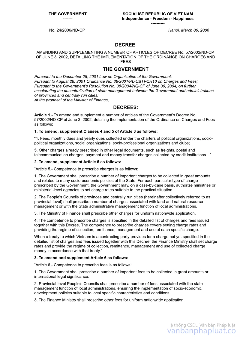
Pursuant to the Government’s Decree No. 57/2002/ND-CP of June 3, 2002,
detailing the implementation of the Ordinance on Charges and Fees; Decree No.
24/2006/ND-CP of March 6, 2006, amending and supplementing a number of articles
of Decree No. 57/2002/ND-CP of June 3, 2002, detailing the implementation of
the Ordinance on Charges and Fees;
After obtaining the Ministry of Natural Resources and Environment’s
opinions in Official Letter No. 3075/BTNMT-TC of August 15, 2008, the Ministry
of Finance hereby guides the charge for reference to and use of survey and
mapping documentation as follows:
I. SCOPE AND SUBJECTS OF APPLICATION
1. This Circular applies to the collection, remittance, management and use of the charge for reference to and use of State-managed survey - mapping documentation at the Survey and Mapping Information and Data Center under the Survey and Mapping Department of the Ministry of Natural Resources and Environment.
2. Charge payers: Organizations and individuals that refer to or use survey and mapping documentation at the Survey - Mapping Information and Data Center under the Survey and Mapping Department of the Ministry of Natural Resources and Environment.
II. LEVELS, COLLECTION, REMITTANCE, MANAGEMENT AND USE OF THE CHARGE FOR REFERENCE TO AND USE OF SURVEY AND MAPPING DOCUMENTATION
1. Levels of the charge for reference to and use of survey - mapping documentation are specified in the Tariff of the charge for reference to and use of survey - mapping documentation promulgated together with this Circular.
2. The charge for reference to and use of survey - mapping documentation constitutes a state budget revenue.
3. Units collecting the charge for reference to and use of survey - mapping documentation shall:
a/ Open “charge custody accounts” at the State Treasury in localities where they are located, for monitoring and management of collected charge amounts; remit collected charge amounts, on a daily or weekly basis, into these accounts, and separately account these collected charge amounts under accounting regulations applicable to administrative and non-business units;
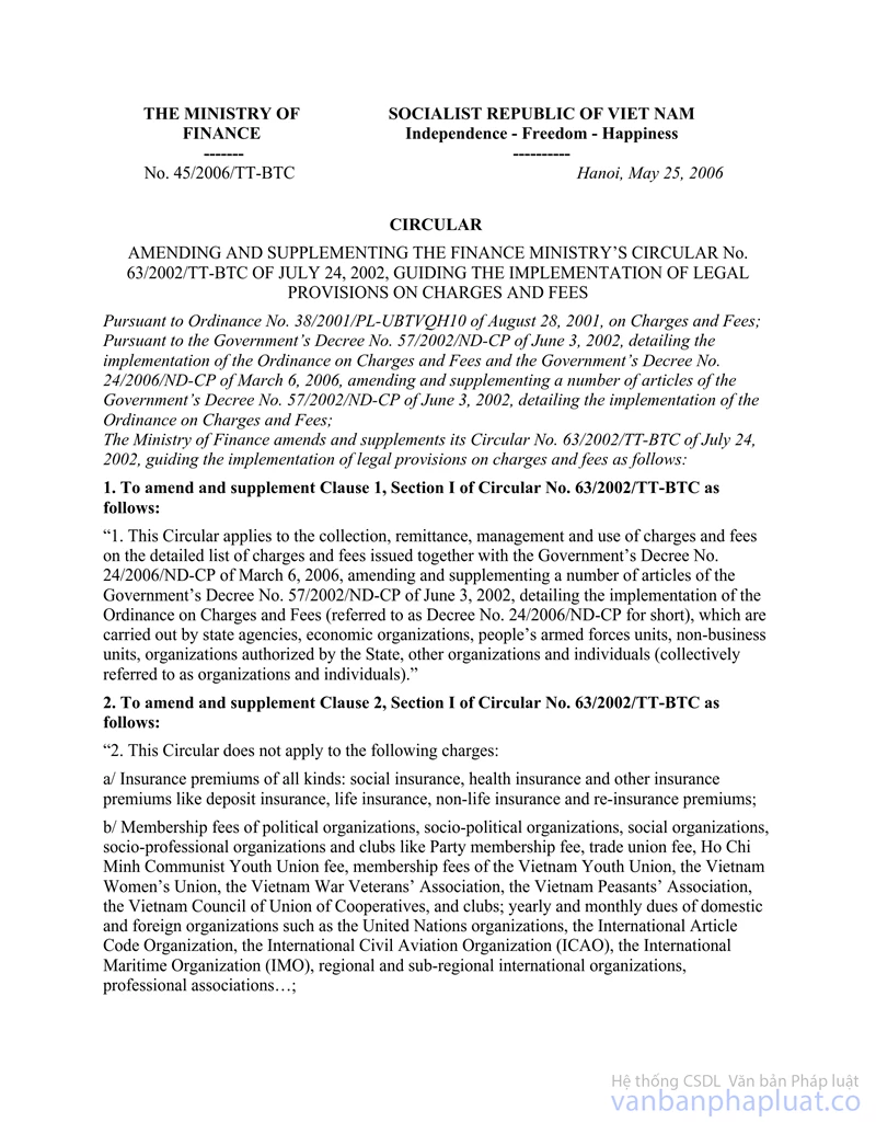
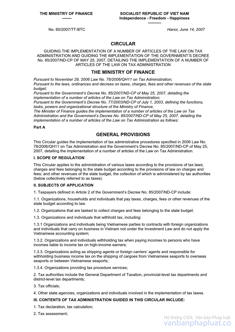
b/ Comply with regulations on charge receipts; currency for charge payment; charge registration, declaration, payment, finalization and accounting; and publicity of charge collection regulations under the Ministry of Finance’s Circular No. 63/2002/TT-BTC of July 24, 2002, guiding the implementation of the law on charges and fees; Circular No. 45/2006/TT-BTC of May 25, 2006, amending and supplementing Circular No. 63/2002/TT-BTC of July 24, 2002, guiding the implementation of the law on charges and fees; Circular No. 60/2007/TT-BTC of June 14, 2007, guiding the implementation of the Government’s Decree No. 85/2007/ND-CP of May 25, 2007, detailing the implementation of a number of articles of the Law on Tax Administration; remit collected charge amounts for reference to and use of survey and mapping documentation into the state budget according to the corresponding chapter, category and clause, item 37 of the current State budget index.
4. Collected charge amounts for reference to and use of survey - mapping documentation shall be managed and used as follows:
a/ Units collecting the charge for reference to and use of survey and mapping documentation may retain 60% of total collected charge amounts before remitting the remainder (40%) into the State budget according to the current State budget index.
b/ Units collecting the charge for reference to and use of survey - mapping documentation may use the collected charge amounts for reference to and use of survey - mapping documentation retained at the percentage (%) specified in Item a of this Point, to cover the following expenses:
- Payment of salaries, wages and allowances of salary or wage nature under current regulations; contributions payable by laborers, such as social insurance and health insurance premiums, trade union dues;
- Expenses in direct service of the charge collection, such as: stationery and office equipment; telephone, electricity and water charges; working mission allowances; printing (purchase) of declaration forms and other printed forms according to current standards and norms;
- Expenses for purchase of materials, fuels and supplies for the preservation and use of documentation (preserving equipment, supplies and chemicals); direct expenses for the receipt, collection and correction of documentation; preservation and development of search tools and organization of use of documents for the charge collection;
- Expenses for purchase, regular repair and overhaul of assets, machinery and equipment in direct service of the charge collection;
- Other expenses in direct service of the collection of the charge for reference to and use of survey - mapping documentation.
5. Units collecting the charge for reference to and use of survey - mapping documentation shall manage and use retained charge amounts for proper purposes and with lawful vouchers under regulations.
6. Annually, units collecting the charge for reference to and use of survey - mapping documentation shall make revenue-expenditure estimates for retained charge amounts, then send them to higher-level branch management agencies, finance and tax offices of the same level, and the State Treasury where they have opened charge custody accounts. At the same time, they shall make revenue-expenditure finalization for actually collected and spent amounts and may carry forward unspent amounts to the subsequent year for further spending under regulations.
7. The finalization of the charge for reference to and use of survey - mapping documentation shall be made concurrently with the State budget finalization. Finance offices shall make the finalization of collected charge amounts retained and spent by collecting units under Point 4, Section II of this Circular.
III. ORGANIZATION OF IMPLEMENTATION
This Circular takes effect 15 days after its publication in the Gazette. The charge collection, use management and remittance into the State budget under this Circular are conducted from January 1, 2009.
Any problems arising during the implementation should be reported to the Ministry of Finance for study and additional guidance.
|
|
FOR
THE MINISTER OF FINANCE |
TARIFF OF CHARGE
FOR
REFERENCE TO AND USE OF SURVEY - MAPPING DOCUMENTATION
(Promulgated together with the Ministry of Finance’s Circular No.
110/2008/TT-BTC of November 21, 2008)
|
No. |
Types of archive |
Units |
Charge rates (VND) |
|
|
I |
Maps printed on paper |
|||
|
1 |
Maps of a scale of 1/10,000 and larger scale |
Sheet |
80,000 |
|
|
2 |
Maps of a scale of 1/25,000 |
Sheet |
85,000 |
|
|
3 |
Maps of a scale of 1/50,000 |
Sheet |
90,000 |
|
|
4 |
Maps of a scale of 1/100,000 and smaller scale |
Sheet |
110,000 |
|
|
5 |
Administrative maps of Vietnam |
Set |
650,000 |
|
|
II |
Plotter printed maps |
|||
|
|
Topographic maps and basic cadastral maps (irrespective of scale) |
A1-size sheet |
80,000 |
|
|
III |
Vector digital maps |
Unselected contents |
Selected contents |
|
|
1 |
Topographic maps of a scale of 1/2,000 |
Piece |
250,000 |
260,000 |
|
2 |
Topographic maps of a scale of 1/5,000 |
Piece |
280,000 |
290,000 |
|
3 |
Topographic maps of a scale of 1/10,000 |
Piece |
420,000 |
430,000 |
|
4 |
Topographic maps of a scale of 1/25,000 |
Piece |
480,000 |
490,000 |
|
5 |
Topographic maps of a scale of 1/50,000 |
Piece |
620,000 |
630,000 |
|
6 |
Basic cadastral maps of a scale of 1/2,000 |
Piece |
40,000 |
50,000 |
|
7 |
Basic cadastral maps of a scale of 1/5,000 |
Piece |
40,000 |
50,000 |
|
8 |
Basic cadastral maps of a scale of 1/10,000 |
Piece |
45,000 |
55,000 |
|
IV |
Raster digital maps |
|||
|
|
Topographic maps and basic cadastral maps (irrespective of scale) |
Piece |
65,000 |
|
|
V |
Archive filmed or photographed with traditional technology |
|||
|
1 |
Press-printed photographs of 23 cm x 23 cm |
Sheet |
50,000 |
|
|
2 |
Press-printed films of 23 cm x 23 cm |
Sheet |
70,000 |
|
|
3 |
Enlarged photographs of 30 cm x 30 cm |
Sheet |
70,000 |
|
|
4 |
Enlarged photographs of 50 cm x 50 cm |
Sheet |
130,000 |
|
|
5 |
Enlarged photographs of 75 cm x 75 cm |
Sheet |
220,000 |
|
|
VI |
Digitally filmed or photographed documentation |
|||
|
|
Scanned films of a resolution of 20 μm |
File |
70,000 |
|
|
VII |
Geodetic documents |
|||
|
1 |
Coordinate-point geodetic documentation |
|||
|
1.1 |
Level 0 |
Point |
215,000 |
|
|
1.2 |
Level I |
Point |
160,000 |
|
|
1.3 |
Level II |
Point |
130,000 |
|
|
1.4 |
Level III and IV |
Point |
110,000 |
|
|
1.5 |
Cadastral 1 |
Point |
100,000 |
|
|
1.6 |
Cadastral 2 |
Point |
80,000 |
|
|
2 |
Altitude-point geodetic documentation |
|||
|
2.1 |
Level I |
Point |
100,000 |
|
|
2.2 |
Level II |
Point |
95,000 |
|
|
2.3 |
Level III |
Point |
80,000 |
|
|
2.4 |
Level IV |
Point |
70,000 |
|
|
3 |
Gravity-point geodetic documentation |
|||
|
3.1 |
Level I |
Point |
130,000 |
|
|
3.2 |
Level II |
Point |
100,000 |
|
|
3.3 |
Level III |
Point |
90,000 |
|
|
3.4 |
Specific gravity points |
Point |
50,000 |
|
|
VIII |
Branch technical documents |
|||
|
|
Branch technical document volumes |
Page |
VND 150/page |
|