Nội dung toàn văn Joint circular No. 13/2011/TTLT-BXD-BNNPTNT-BTNMT providing the elaboration
|
THE
MINISTRY OF CONSTRUCTION -THE MINISTRY OF AGRICULTURE AND RURAL DEVELOPMENT -
THE MINISTRY OF NATURAL RESOURCES AND ENVIRONMENT |
SOCIALIST
REPUBLIC OF VIET NAM |
|
No. 13/2011/TTLT-BXD-BNNPTNT-BTNMT |
Hanoi, October 28, 2011 |
JOINT CIRCULAR
PROVIDING THE ELABORATION, APPRAISAL AND APPROVAL OF MASTER PLANS ON BUILDING NEW-COUNTRYSIDE COMMUNES
Pursuant to the Government's Decree No. 17/2008/ND-CP of February 4, 2008, defining the functions, tasks, powers and organizational structure of the Ministry of Construction;
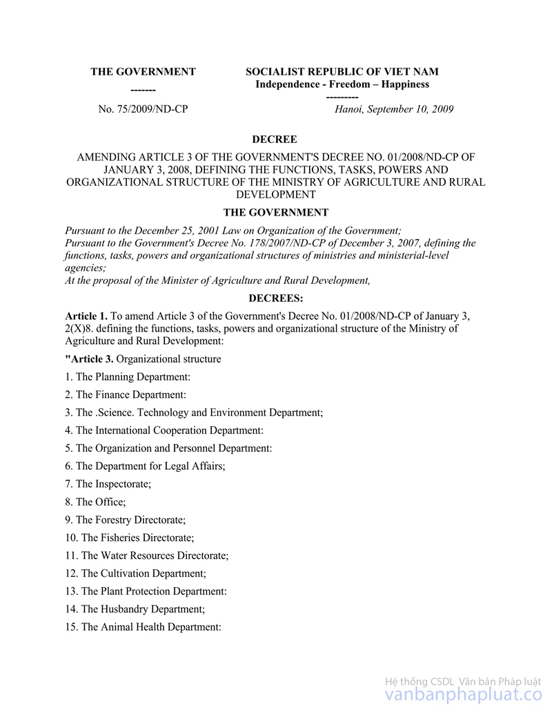
Pursuant to the Government's Decrees No. 01/2008/ND-CP of January 3, 2008, and No. 75/2009/ND-CP of September 10, 2009, defining the functions, tasks, powers and organizational structure of the Ministry of Agriculture and Rural Development;
Pursuant to the Government's Decree No. 25/2008/ND-CPof March 4, 2008, defining the functions, tasks, powers and organizational structure of the Ministry of Natural Resources and Environment;
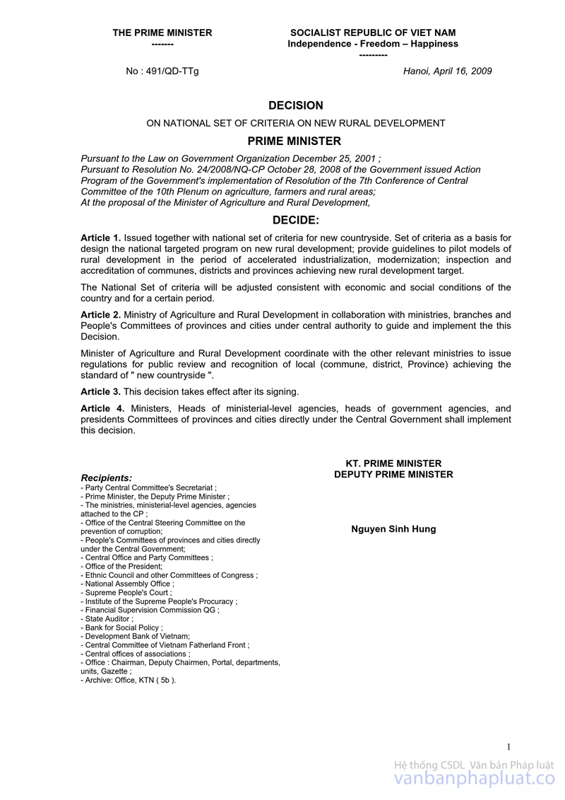
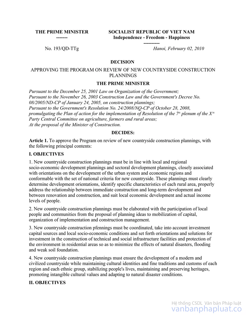
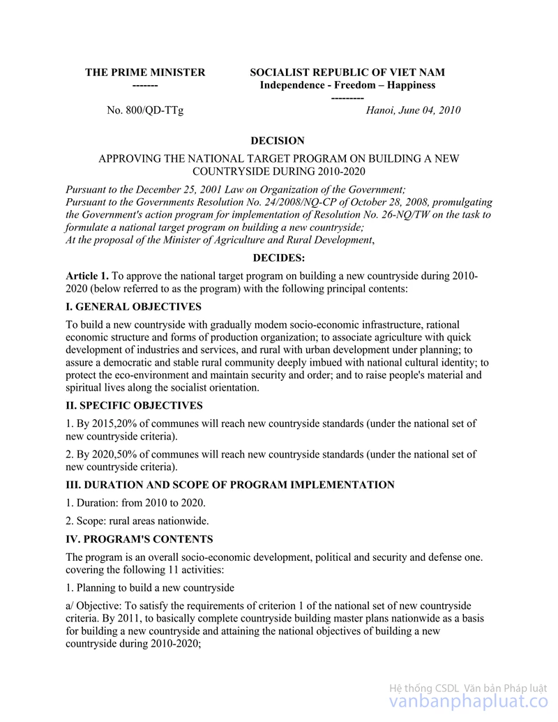
Pursuant to the tasks assigned by the Prime Minister in Decision No. 49I/QD-TTg of April 16, 2009, promulgating a set of national new-countryside criteria; Decision No. 193/QD-TTg of February 2, 2010, approving the program on reviewing new-countryside building master plans; Decision No. 800/QD-TTg of June 4, 2010, approving the national target program on building a new countryside; and Document No. 221/TB-VPCP of August 20, 2010, announcing the Prime Minister's conclusions on the implementation of the national target program on building a new countryside;
The Ministry of Construction, the Ministry of Agriculture and Rural Development and the Ministry of Natural Resources and Environment provide the elaboration, appraisal and approval of master plans on building new-countryside communes as follows:
Chapter I
GENERAL PROVISIONS
Article 1. Scope of regulation and subjects of application
1. Scope of regulation: This Circular provides the elaboration, appraisal and approval of tasks and schemes of master plans on building new-countryside communes (referred to as new- countryside master plans for short).
2. A new-countryside master plan includes a master plan on spatial development orientations; a master plan on use of land and essential infrastructure for development of commodity agriculture, industries, cottage industries and services; a master plan on economic, social and environmental infrastructure development according to new criteria; a master plan on development of new residential areas and embellishment of existing residential areas toward civilization and preservation of fine cultural traits.
3. Subjects of application: Organizations and individuals involved in the elaboration, appraisal, approval and management of new-countryside master plans.
Article 2. Principles of elaborating new-countryside master plans
1. New-countryside master plans must comply with the Prime Minister's Decision No.491/QD-TTg of April 16, 2009.
2. New-countryside planning schemes must comply with approved higher-level master plans (master plans on district- or provincial-level territories or master plans of urban centers).
3. Communes with master plans meeting new-countryside building criteria are not required to have such master plans re-approved. Communes with land use master plans for the 2011-2020 period having been or being elaborated shall review and supplement such master plans according to the process of elaborating master plans prescribed in this Circular.
4. The elaboration of new-countryside master plans must comply with this Circular. Approved new-countryside master plans serve as grounds for land use management and formulation of new-countryside building projects in localities.
Article 3. Consultation on new-countryside planning schemes
1. In the course of compiling new-countryside planning schemes, commune-level People's Committees shall consult local communities before submitting them to commune-level People's Councils for approval.
2. To-be-consulted contents: basic orientations for population development, public infrastructure facilities, development of agricultural and industrial production and services and environmental issues.
Article 4. Sequence of elaborating and managing new-countryside master plans
1. Sequence of elaborating master plans
a/ Before compiling a new-countryside planning scheme, a commune-level People's Committee identifies and submits planning tasks to the district-level People's Committee for approval;
b/ After the planning tasks are approved, the commune-level People Committee makes and submits a planning scheme and management regulations to the commune-level People's Council for passage before submitting them to the district-level People's Committee for approval. For communes experimenting the non-establishment of commune-level People's Councils, commune-level People's Committees shall consult related departments and sectors in their communes before submitting planning schemes and management regulations to district-level People's Committees for approval;
c/ The district-level People's Committee approves the new-countryside planning scheme and promulgates management regulations. The commune-level People's Committee shall organize the implementation and management of the planning scheme after it is approved.
2. Management and implementation of new-countryside master plans
a/ Publicizing and providing planning information;
b/ Planting landmarks of technical infrastructure facilities and boundary markers of functional sub-areas;
c/ Determining in the field the areas and boundaries of land plots under wet rice, special-use forests and protection forests;
d/ Preserving new-countryside planning files.
Article 5. Management, payment and settlement of planning funds
1. Planning funds shall be allocated from the state budget. Provincial-level People's Committees shall take the initiative in making funding plans and specifying commune-level funding levels suitable to local practical situations. They may refer to the specific funding levels guided in the Ministry of Agriculture and Rural Development's handbook on new-countryside building.
2. The management, payment and settlement of planning funds comply with the Ministry of Finance's guidance.
Chapter II
ELABORATION OF MASTER PLANS ON BUILDING NEW-COUNTRYSIDE COMMUNES
Article 6. Elaboration and approval of new-countryside planning tasks
Planning tasks are requirements set for the compilation of new-countryside planning schemes. After planning tasks are identified, commune-level People's Committees shall propose district-level People's Committees to issue a decision approving them. The planning tasks include:
1. Title of the planning scheme; planning scope and limit;
2. Objectives and requirements on the study contents of the planning scheme;
3. Forecasts about population, land areas and construction scope;
4. Spatial organization needs (production, residential and central areas; new development areas and renovation and embellishment of villages);
5. Requirements on development of the technical infrastructure system;
6. Major economic targets;
7. Dossier of the planning scheme;
8. Funds, schedule and responsibilities for compiling the planning scheme.
Article 7. Compilation of new-countryside planning schemes
A new-countryside planning scheme has the following contents:
1. General analysis and assessment of the current status.
2. Development potential forecasts and orientations.
3. Communal spatial planning.
4. Land use planning.
5. Production planning.
6. Construction planning.
Article 8. General analysis and assessment of the current status
1. To conduct a general analysis and assessment of the current status of natural conditions (geographical, topographic, geomorphic, climate, hydrographic and pedological characteristics and natural resources: water, forest and sea), the environment and eco-systems to serve the identification of development resources and potential.
2. To evaluate the implementation of existing master plans.
3. To assess the current state of houses, public works, technical infrastructure facilities, relics and tourist attractions.
4. To analyze and assess the current state of and changes in land use.
Article 9. Development potential forecasts and orientations
1. Potential forecasts
a/ To assess land potential which serves as a ground for changing the structure of land areas used for civil, infrastructure and production purposes. To forecast land areas for the construction of each work in the communes and villages and residential land areas;
b/ To forecast the forms and characteristics of major economic activities such as agriculture, agro-forestry, husbandry, cottage industry, tourism or urban development; scope of production, key products and their marketability and outlet solutions;
c/ To forecast population and workforce sizes and the number of households in different planning periods.
2. Orientations on population, infrastructure, economic (agricultural and industry production and services) and environmental development in the commune:
a/ To identify the commune's potential in terms of human resources, socio-economic resources and natural conditions;
b/ To identify general and specific development targets for each sector suitable to the potential and resources so as to assure feasibility and sustainable development.
Article 10. Communal spatial planning
1. A communal spatial planning must take into account all spatial organization plans and select solutions suitable to the commune's natural, economic and social conditions and realities. A communal spatial planning serves as a ground for elaborating production, construction and land use plannings.
2. Orientations for organizing new residential areas and renovating existing villages and quarters: To determine the population size and land norm for each group of households and land area and land demand of each village. For areas prone to natural disasters, to give warnings and state solutions to protect humans and livestock.
3. Orientations for organizing a system of public facilities and preserving historical and cultural works: To determine locations, sizes and architectural orientations for commune-level public works and other special areas.
4. Orientations for organizing a system of communal technical infrastructure facilities to link villages with production areas, the commune center and inter-communal areas (including production and civil facilities). For areas prone to natural disasters, to give warnings and state response measures.
Article 11. Land use planning
1. Elaboration of land use master plans.
a/ To determine specific land areas of different types in the commune already allocated by the district-level authority;
b/ To determine land areas for development, specifically the existing land areas under upland rice or annual trees, other agricultural land, land for construction of communal working offices and non-business works, land of cemeteries and graveyards managed by the communal administration, river and stream land and land for development of communal infrastructure facilities and other non-agricultural land;
c/ In the process of elaborating a new-countryside master plan, to determine land areas requiring permission for use purpose change according to current law and the area of unused land to be put into use.
2. Elaboration of land use plans: To determine land use targets by use purpose, area of land subject to use purpose change and area of unused land to be put into use.
a/ To make land use plans for the two periods: 2011-2015 and 2016-2020;
b/ To elaborate annual land use plans for the 2011-2015 period.
3. The system of land use planning norms and tables (see the attached Appendix, not printed herein).
4. Communes which have not yet elaborated land use master plans for the 2011 -2015 period shall comply with this Article (shall not elaborate separate land use master plans).
Article 12. Production planning
1. Agricultural production planning:
a/ To determine the potential for and scope of each type of production (crops and livestock being local advantages and new ones suitable to local production conditions; forecasts about production and output capacity in each period; and outlet development orientations for products of high economic and market values);
b/ To arrange areas for commodity agriculture (rice, subsidiary crops, industrial plants and fruit trees), husbandry and aquaculture areas, preservation and processing workshops; industries and services. To clearly state villages where these items will be located;
c/ To determine the infrastructure network, including intra-field roads (showing roads to land plots of 1 ha or larger) and irrigation (natural and artificial canals of grade 3 or higher); low-voltage electricity networks for production and water supply and wastewater drainage systems for aquaculture ponds;
d/ Major solutions for meeting planned development requirements.
2. Planning on industrial production, cottage industries and services:
a/ To identify industrial-service development potential in the terms of natural resources, land and labor;
b/ To select industries and services to be developed and major solutions for attaining new-countryside building objectives;
c/ To determine industrial and service development targets (proportion of industrial and service values to the total production value of the commune);
d/ Major solutions for meeting planned development requirements.
Article 13. Construction planning
1. For villages and new residential areas: a/ To determine population size and the number of households based on ecological characteristics and cultural practices; and public works in each village and new residential area;
b/ To determine of a system of new villages and residential areas;
c/To identify the structure of functional sub-areas and their spatial organization; requirements, principles, orientations and solutions for organizing architectural spaces; locations and sizes of village centers and concentrated residential areas, production areas, areas to be developed or restricted from development, no-construction areas, areas with other demands; and special areas, and major infrastructure-linking works;
d/ To set requirements on renovation and embellishment of villages and houses: orientations and solutions for organizing residential spaces, regulations on architecture and color, guidance on renovation of houses, fences and gates suitable to local natural conditions, climate, traditional architecture and materials;
f/ To set basic norms on population, land and public works in existing and to-be-built villages and residential areas.
2. For commune centers:
a/ To identify the locations, boundaries and land areas, forecast the construction or renovation scope and set typical architectural orientations for the commune center as well as each communal-level public work;
b/ To determine contents, requirements and principles for the organization of architectural space, number of stories and architectural solutions for public works, service facilities, greeneries, development areas, areas restricted or banned from construction and conservation areas;
c/ To set norms on land and technical and social infrastructure in the commune center;
d/ To determine prioritized investment projects in the commune center and villages and areas within the planning scope.
3. To plan technical infrastructure networks, including transport, water drainage and supply, electricity supply, wastewater drainage, environmental sanitation, commune and village cemeteries, production areas and inter- communal areas, determining the list, locations and sizes of work items, orientations and solutions for renovation and embellishment, applicable technical standards and cross-section drawings to meet development requirements of each planning period, and environmental protection.
4. Construction planning must meet the standards provided in the Ministry of Construction's Circular No. 32/2009/TT-BXD of September 30, 2009. To identify prioritized investment projects and their implementation phases in the commune center, villages, production areas and areas within the planning scope and generally estimate funds needed for building technical infrastructure for production during 2010-2015.
Article 14. Evaluation of socio-economic and environmental impacts of new-countryside master plans
In new-countryside planning schemes, it is necessary to explain and clarify economic, social and environmental impacts of spatial development orientations, land use planning, production planning and construction planning.
Article 15. Documents of new-countryside planning schemes
1. General explanations, enclosed with A3-size drawings, appendices, and design guidelines and illustrations.
2. Drawings displayed on the background of a land use map of a scale of between 1:5,000 and 1:10,000 or 1:25,000, for communes of 20,000 ha or larger. These drawings include:
a/ A general drawing of the current status;
b/ A land use map;
c/ A drawing on orientations for spatial development of the new-countryside commune;
d/ A land use planning map; an agriculture planning drawing and a construction planning drawing;
e/ A technical infrastructure planning drawing;
f/ Drawings of central, residential and agricultural production areas displayed on 1:2,000-scale maps, clearly showing intra-area roads (roads linking to land plots of 1 ha or larger); electricity supply system; production water supply and wastewater drainage systems; and environmental treatment areas.
3. The Regulation on construction management according to the master plan and a draft decision approving the planning scheme.
4. A CD disc containing all explanations and drawings.
Article 16. Contents of approval of new-countryside planning schemes
1. Planning location and scope:
a/ The boundary and area;
b/ The commune's population and workforce size and structure in each planning period.
2. Objectives, contents and requirements of the planning scheme:
a/ Concretizing socio-economic development orientations;
b/ Serving as a legal ground for formulation of investment projects;
c/ Setting orientations on the forms of organizing production and daily-life activities, the system of public works, technical infrastructure facilities and infrastructure to serve production activities in the whole commune.
3. Planning prerequisites and scope:
a/ Population and workforce size and structure;
b/ Construction land size and need.
4. Land use planning norms:
a/ Area and structure of land of different types;
b/ Area of land subject to use purpose change;
c/ Area of unused land to be put in use.
5. Functional sub-areas and spatial organization under the planning scheme:
a/ Structure of functional sub-areas, requirements, principles, orientations and solutions for organizing the architectural space of the commune center, villages and concentrated residential areas; production areas, areas of development potential, areas restricted or banned from development, protected areas and areas with other demands; and special areas, and major infrastructure-linking works;
b/ The commune center: To determine the location, boundary, land area and construction scope and requirements; basic norms of each public work, service facility and greenery to be newly built or renovated (including communal-level educational, health, cultural, sports and physical training, trade and service works suitable to the commune's socio-economic development capacity, characteristics and requirements in each planning period);
c/ Orientations for population distribution in villages and new residential areas: To determine population size, the number of households and village centers, set orientations for renovation, embellishment and upgrading of cultural, sports and physical training, trade and service works and houses; and identify norms on land, technical infrastructure and environmental protection for each village and new residential area;
d/ Construction planning: To determine the boundary and scope of each production form, the system of technical infrastructure and physical foundations to serve production; and land and environmental protection norms of each area;
6. Planning on technical infrastructure networks, including transport, water drainage and supply, electricity supply, wastewater drainage, environmental sanitation, commune and village cemeteries and production areas.
7. Economic, technical and land norms to meet the commune's socio-economic development requirements according to the general planning.
8. List of prioritized projects in each planning period in order to attain new-countryside criteria.
9. Regulations on management of construction according to the master plan.
10. Schedule and solutions for implementing the planning scheme.
Chapter III
ORGANIZATION OF IMPLEMENTATION
Article 17. Responsibilities of ministries
The Ministry of Construction shall assume the prime responsibility for, and coordinate with the Ministry of Agriculture and Rural Development and the Ministry of Natural Resources and Environment in, assisting the Central Steering Committee for the national target program on building a new countryside in inspecting and accelerating the elaboration of new-country building master plans and making biannual reports to the Steering Committee.
Article 18. Responsibilities of People's Committees of all levels
The People's Committees of all levels shall strengthen local construction management units to be capable of elaborating and appraising new-countryside master plans and direct, urge, communicate and inspect the implementation and management of these master plans.
1. Commune-level People's Committees shall act as investors and make and submit new-countryside planning tasks and schemes to district-level People's Committees for approval.
2. Appraising agencies: Infrastructure, agriculture and rural development and natural resources and environment divisions shall appraise new-countryside planning tasks and schemes before submitting them to district-level People's Committees.
3. District-level People's Committees shall approve new-countryside planning tasks and schemes and, at the same time, promulgate regulations on management of construction under planning schemes.
4. Provincial-level Construction Departments (Planning and Architecture Departments, for Hanoi and Ho Chi Minh City) shall assume the prime responsibility for, and coordinate with provincial-level Agriculture and Rural Development Departments and Natural Resources and Environment Departments in, guiding and inspecting the implementation of new-countryside master plans (inspecting consultancy capacity, planning schemes' quality and the implementation of approved master plans); and hold training courses on the elaboration and management of new-countryside master plans in their respective localities.
5. Provincial-level steering committees for building a new countryside shall direct the elaboration of new-countryside master plans, meeting the requirements and schedule set by the Central Steering Committee and make biannual reports to the Central Steering Committee.
Article 19. Implementation provisions
1. This Circular takes effect on December 15, 2011.
2. Any problems arising in the course of implementation should be reported to the Ministry of Construction and the Central Steering Committee for the national target program on building a new countryside for study and settlement.
|
FOR
THE MINISTER OF CONSTRUCTION |
FOR
THE MINISTER OF AGRICULTURE AND RURAL DEVELOPMENT |
|
FOR
THE MINISTER OF NATURAL RESOURCES |
|